PUC 1.1 trials in Graz, Austria.
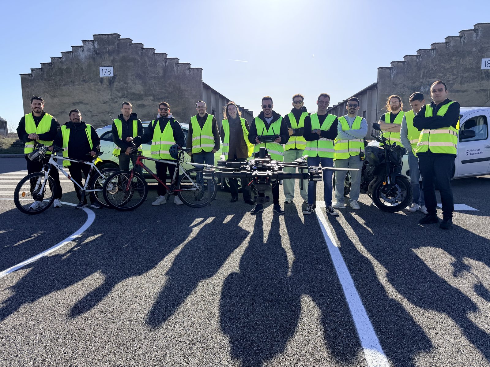
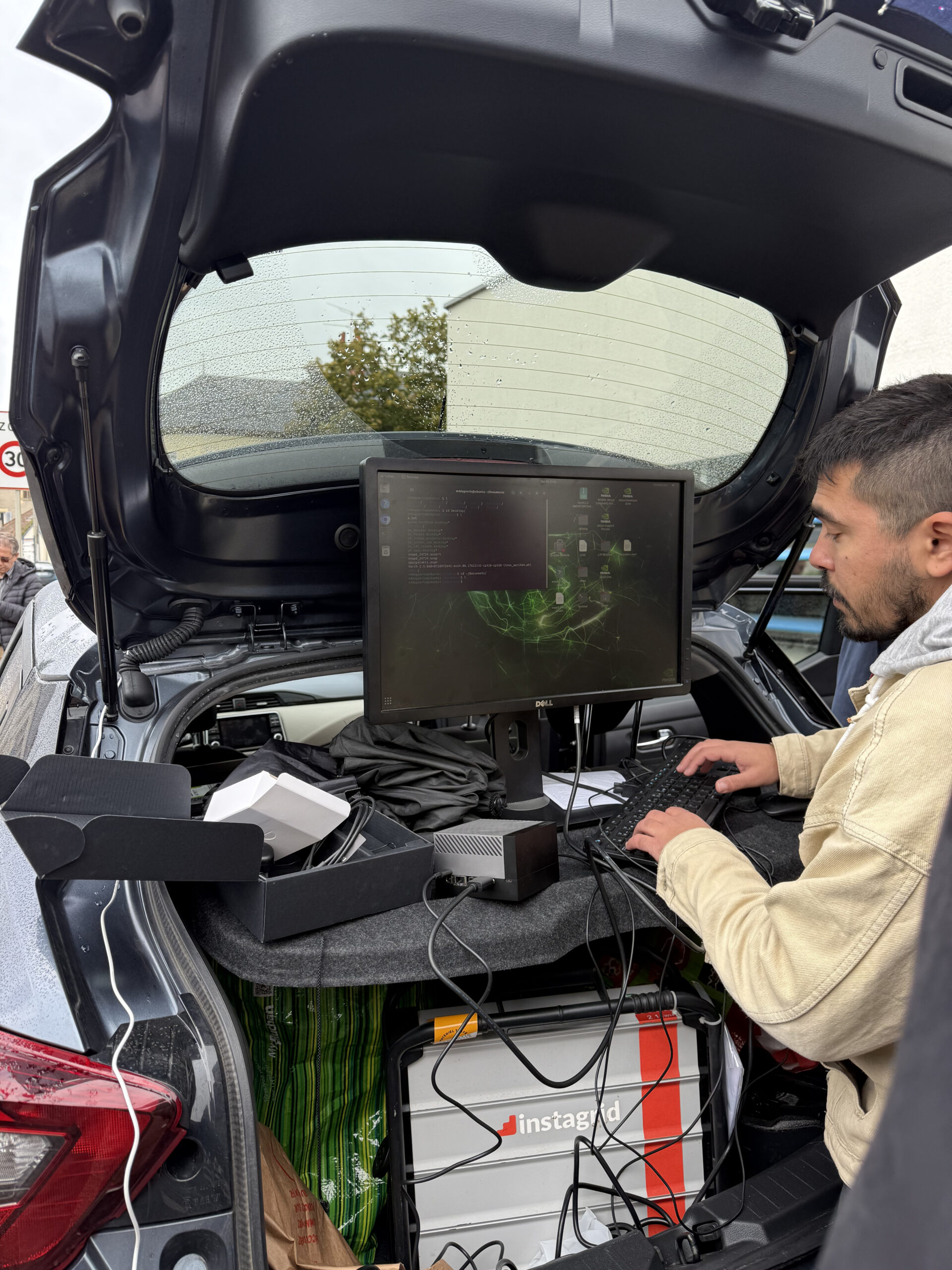
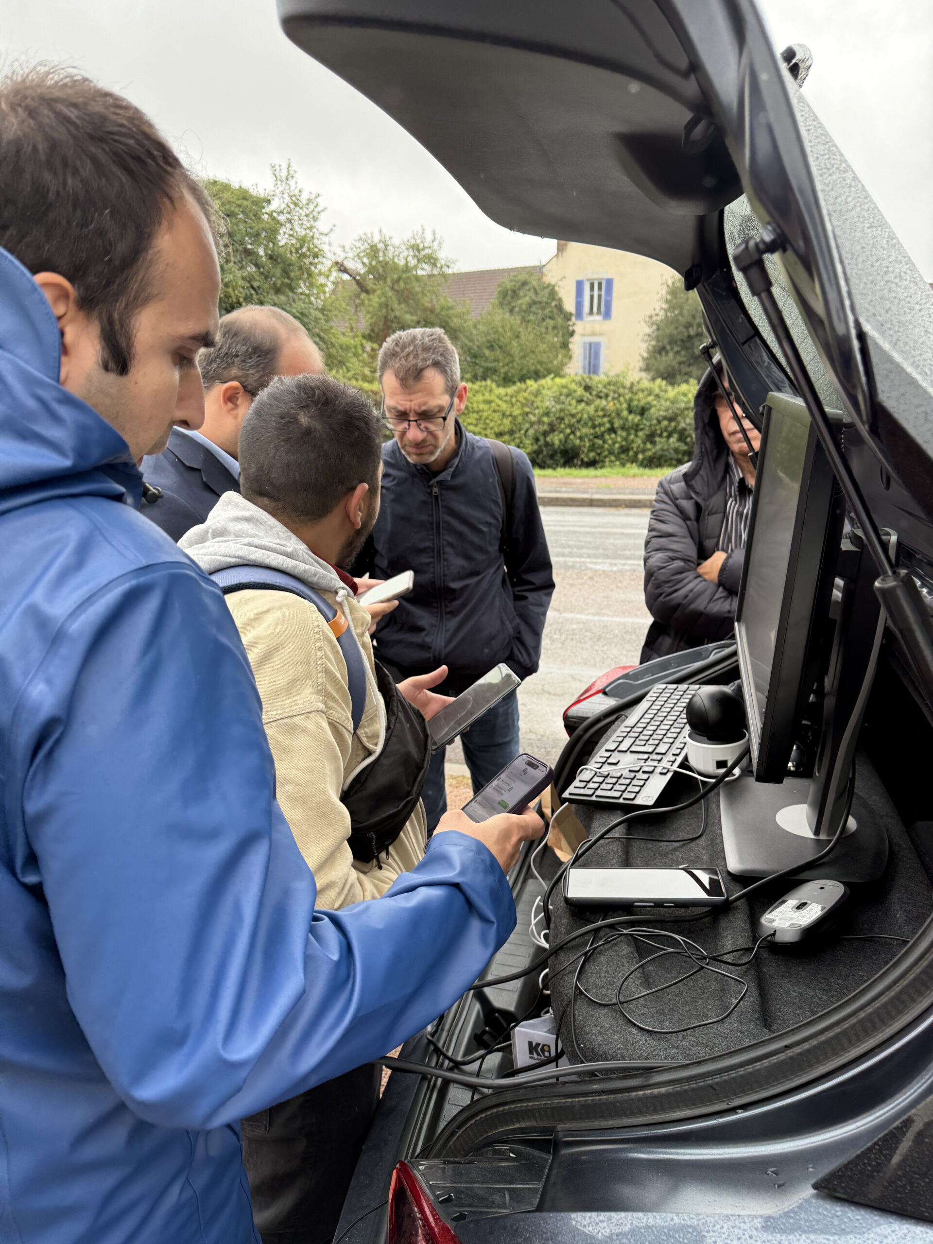
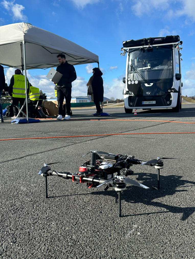
Between 16-20 February 2026, the consortium ran a five-day on-site trial in Graz - the first real-world validation of iDriving's enhanced logging and user-interaction monitoring stack. Testing kicked off at the Torus bus garage with physical setup and system integration, then progressed to operational scenarios with drones operated by Acceligence capturing traffic footage in tandem with the wider system.
Drone surveillance
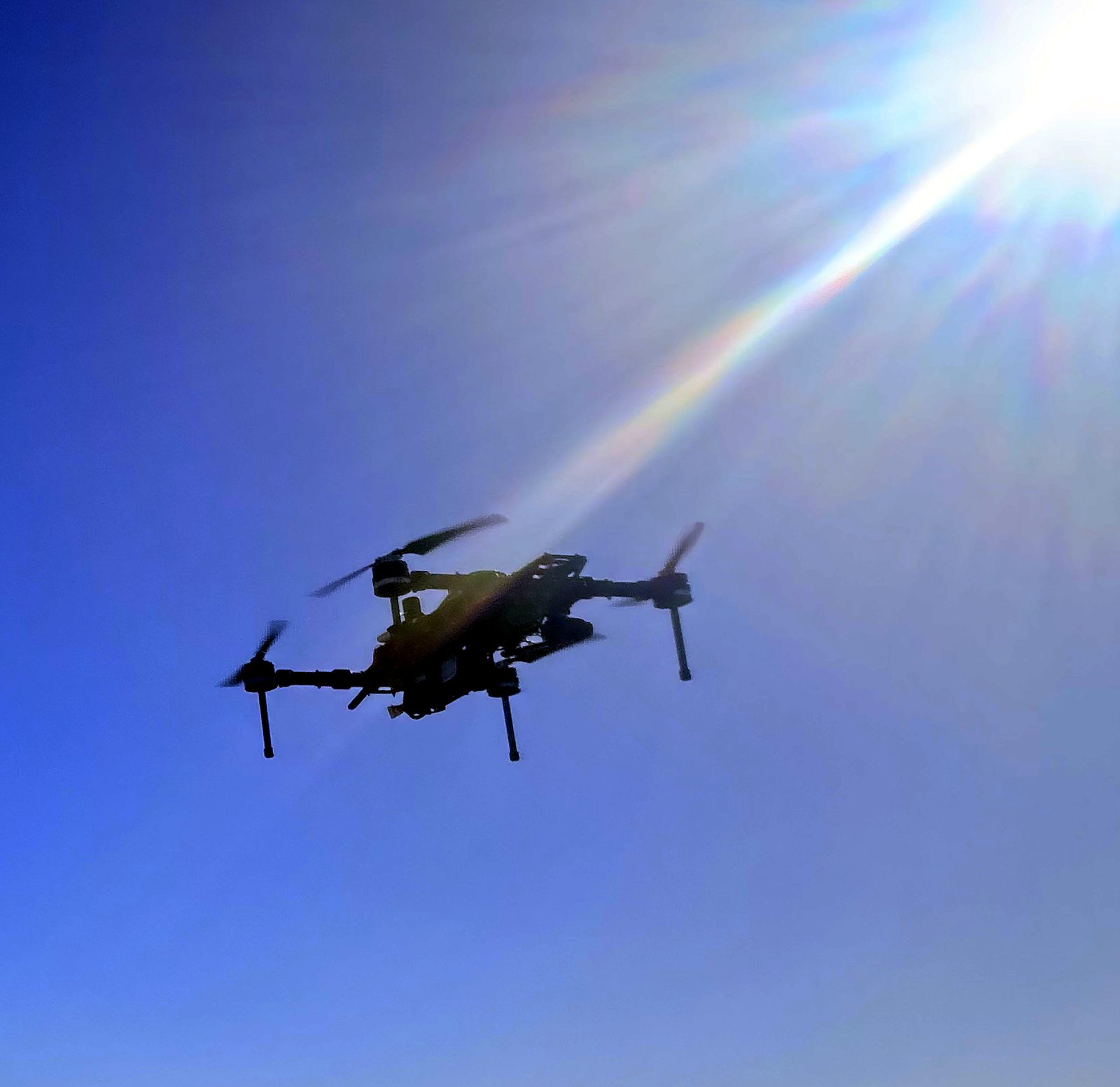
UAVs operated by Acceligence captured traffic footage with on-board NVIDIA Jetson processing - object detection, incident detection and intelligence streaming back to the system.
Real-time perception
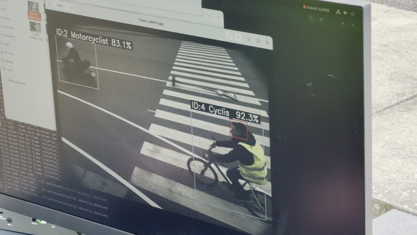
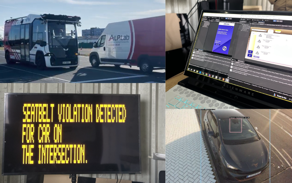
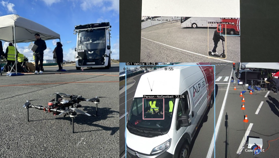
YOLOv11 (Small and Medium) running on edge hardware with DeepSort and ByteTrack tracking - identifying helmet/seatbelt use, mobile distraction, vehicle classification and traffic violations.
Licence-plate recognition
An OCR pipeline integrated for licence-plate recognition under varied lighting - feeding the violation logging system in real time.
End-to-end integration
Confirmed data transmission, message handling and system integration across modules from CERTH, Université Gustave Eiffel, Tekniker and Netcompany-Intrasoft.
Highlights from the iDriving pilot in Graz, February 2026 (49 s). Watch on YouTube →
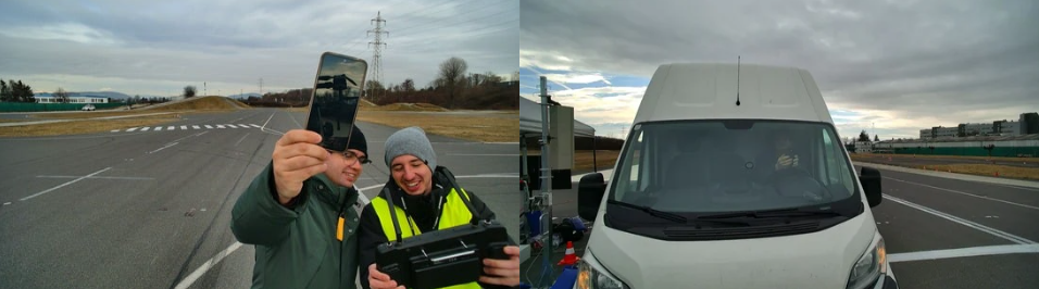
Photos from the Graz trials
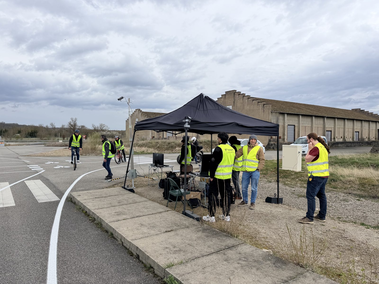
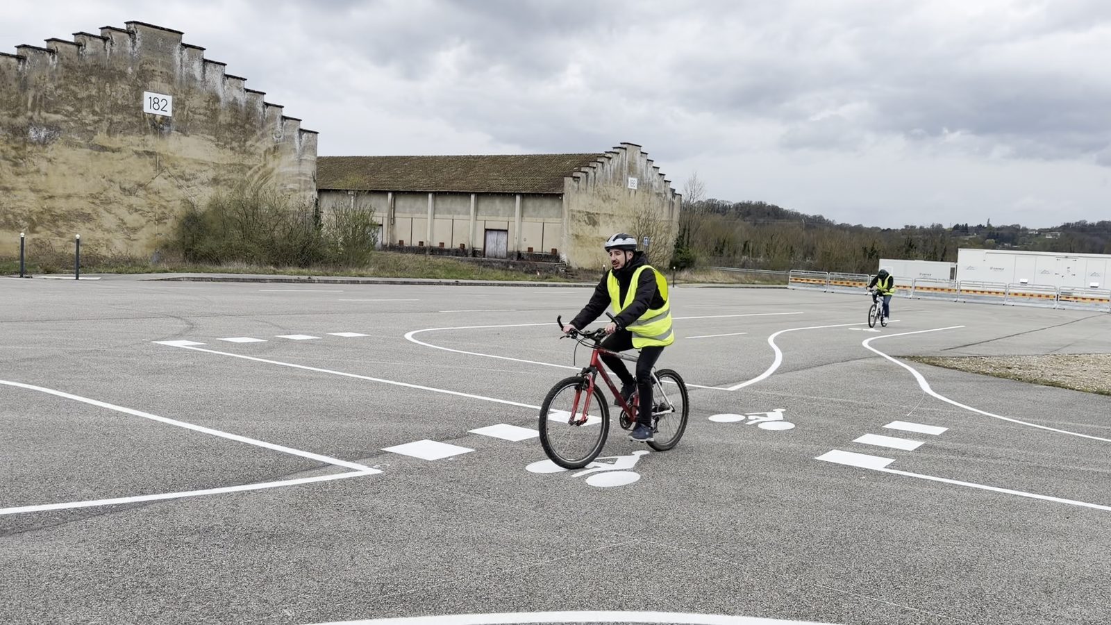
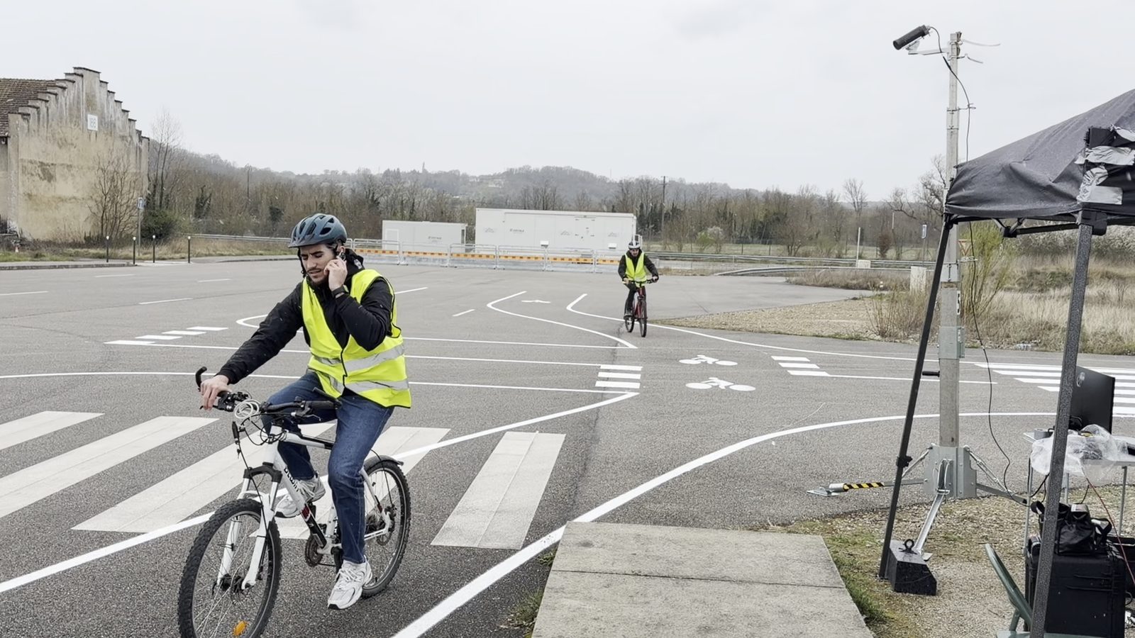
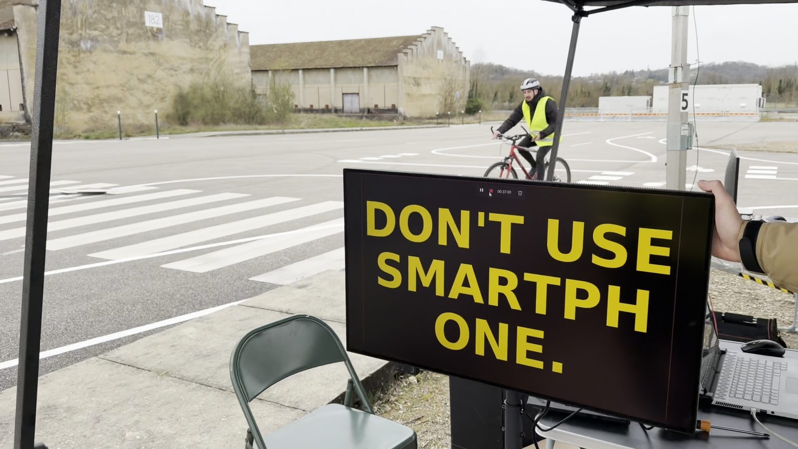
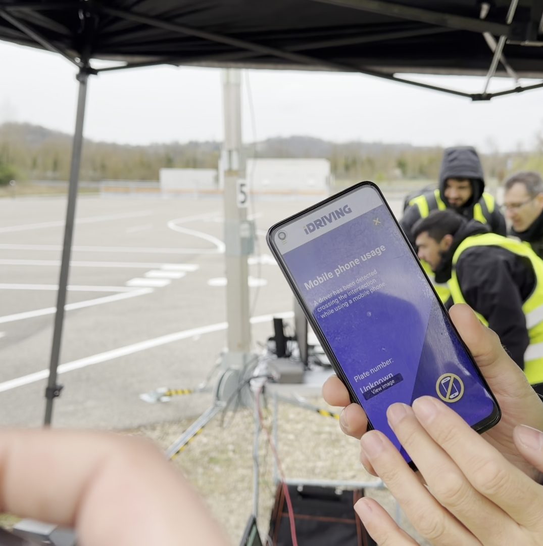
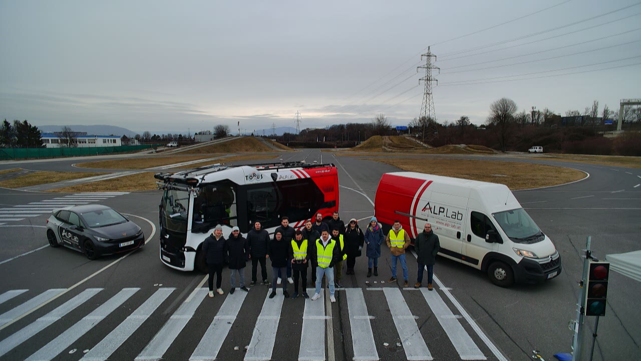
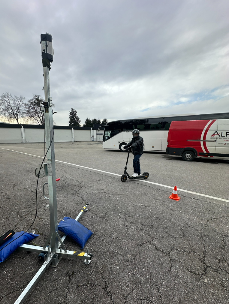
The test week started at the Torus bus garage and moved on to the Magna test track, where ALP.Lab marked lanes to replicate a city intersection. Roadside cameras, an instrumented Torus bus and drones fed the detection pipelines, and warnings appeared on variable message signs and in the iDriving app.
The road to the Graz pilot
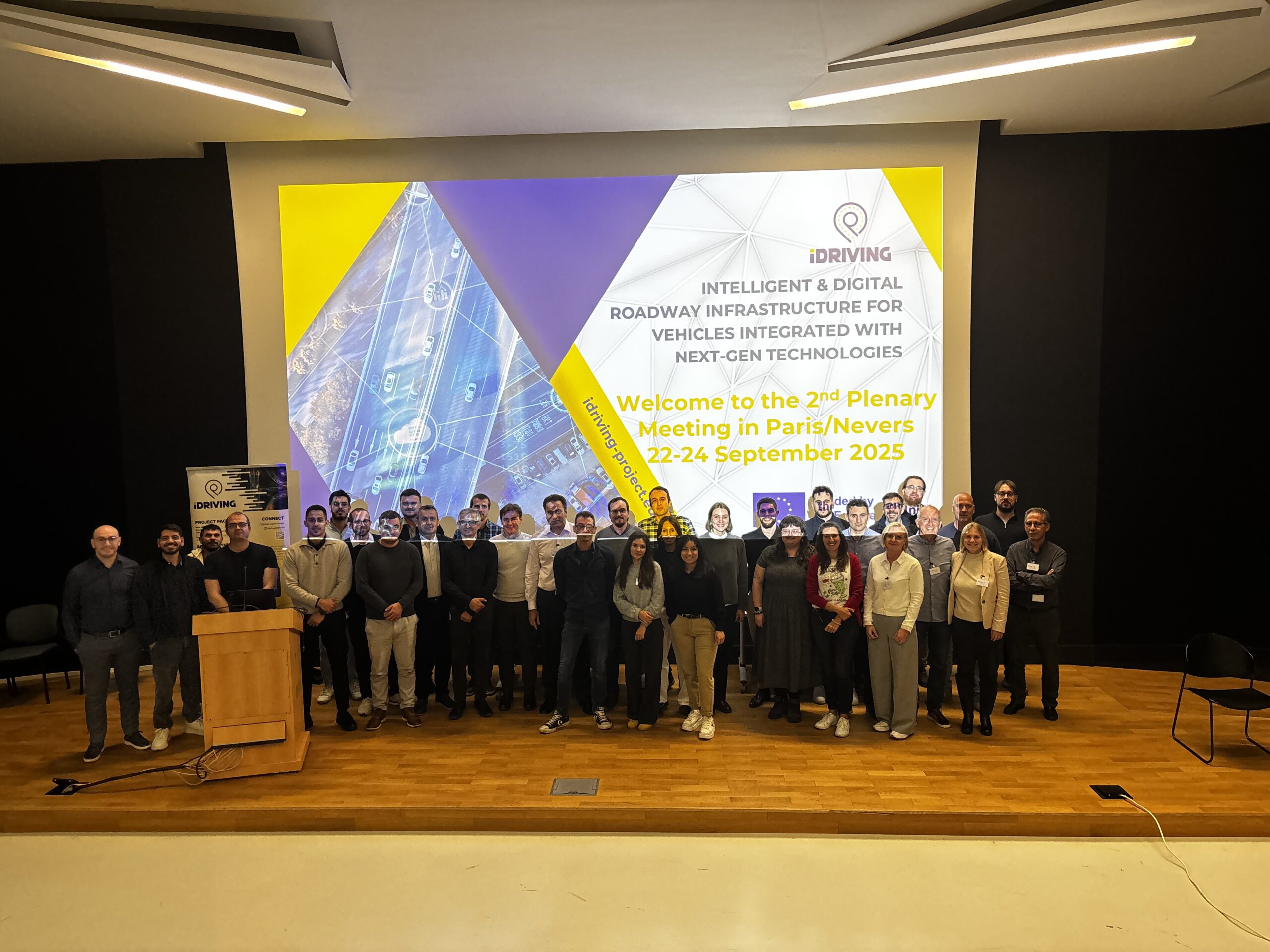
- Feb 2025 · Graz1st iDriving plenary meeting in Graz, with a welcome on behalf of the mayor and a presentation by the City of Graz traffic systems division. Read more
- 16–20 Feb 2026 · GrazFive-day PUC 1.1 trials at the Torus bus garage and the Magna test track. Read the trial story
- NextThe Graz data feeds the evaluation in WP6 and the next version of the iDriving prototype.